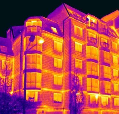
 The infrared (IR) thermography is a non destructive method for Material Testing. This method relies on the measurement of the IR radiation emitted from materials and its correlation with their temperature. Thus, the temperature distribution on the materials surface is detected, quantified and visualised. Thermography of a considered structural element can be conducted from distance with the help of the so called thermographic cameras. [1]
The analysis and interpretation of the data acquired from Thermography consist one of the most reliable diagnostic methods of Engineering Mechanics to assess the condition of a structure, an infrastructure network (water supply, sewage disposal, heating, cooling, electrical) or an engine, both static and dynamic. With IR thermographic tools deployed the damage prediction and prevention is more feasible than ever.
Thermography can be applied in numerous cases. The most common concern buildings and their equipment and are listed as follows:
- efficiency and sufficiency evaluation of thermal insulation or verification of its absence airtightness control
- watertightness control
- casing airtightness control
- moisture and water inflow detection
- pipe network leakage detection
- embedded pipe network leakage detection and operation control (water supply, sewage disposal, heating, floor heating pipes)
- electrical installations control
- machinery and associated equipment control
- photovoltaic installations control
- building materials discontinuity detection
- structural members hidden wear detection
- buildings energy efficiency assessment
- on-target energy efficiency upgrade building design
[1] the handling of thermal cameras is highly recommended to be conducted by trained staff with certified equipment.


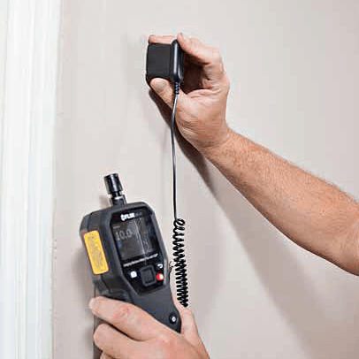 Moisture is a major threat to buildings as it can cause extremely problematic situations on them. Its presence can induce physical, mechanical and chemical deterioration of materials, reduce or even eliminate the insulation ability of thermal insulation and form, if in high concentration, unhealthy internal environment which in turn impairs human health or makes existing health problems even worse.